GIS
GIS stands for Geographical Information System. It is defined as an integrated tool, capable of mapping, analyzing, manipulating and storing geographical data in order to provide solutions to real world problems and help in planning for the future. GIS deals with what and where components of occurrences. For example, to regulate rapid transportation, government decides to build fly-over (what) in those areas of the city where traffic jams are common (where).Definition of GIS
GIS means differently to different people and therefore has different definitions. For example, Burrough (1998) defined GIS as “ a powerful set of tools for collecting, storing, retrieving at will, transforming and displaying spatial data from the real world for a particular set of purposes”Objectives of GIS
Some of the major objectives of GIS are to
- Maximizing the efficiency of planning and decision making
- Integrating information from multiple sources
- Facilitating complex querying and analysis
- Eliminating redundant data and minimizing duplication
Components of a GIS
A GIS has following components:
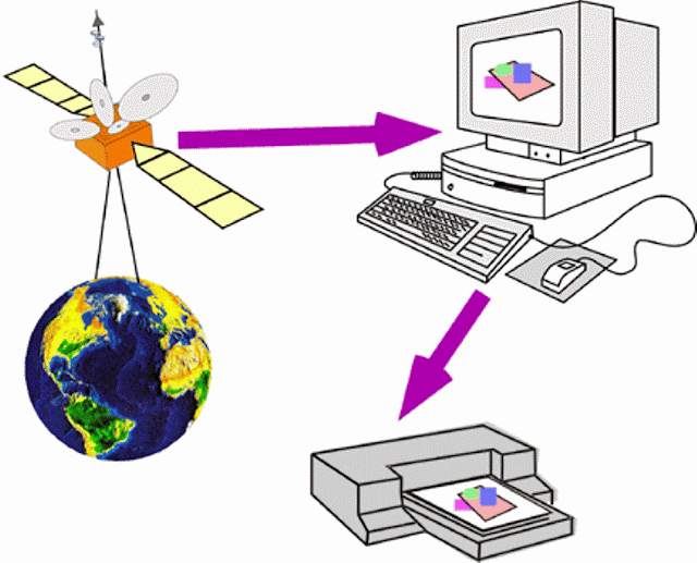
Hardware : It consists of the equipments and support devices that are required to capture, store process and visualize the geographic information. These include computer with hard disk, digitizers, scanners, printers and plottersetc.
Image Source: PhysicalGeograp
Software :
Software is at the heart of a GIS system. The GIS software must have the basic capabilities of data input, storage, transfosrmation, analysis and providing desired outputs. The interfaces could be different for different softwares. The GIS softwares being used today belong to either of the category –proprietary or open source. ArcGIS by ESRI is the widely used proprietary GIS software. Others in the same category are MapInfo, Microstation, Geomedia etc. The development of open source GIS has provided us with freely available desktop GIS such as Quantum, uDIG, GRASS, MapWindow GIS etc., GIS softwares.
Data :
The data is captured or collected from various sources (such as maps, field observations, photography, satellite imagery etc) and is processed for analysis and presentation.
Procedures :
These include the methods or ways by which data has to be input in the system, retrieved, processed, transformed and presented.
People :
This component of GIS includes all those individuals (such as programmer, database manager, GIS researcher etc.) who are making the GIS work, and also the individuals who are at the user end using the GIS services, applications and tools.


![[PDF] SP 16 :1980 Design Aids For Reinforced Concrete to IS : 456-1978](https://blogger.googleusercontent.com/img/b/R29vZ2xl/AVvXsEj3vWyWR9sVpY2Mcip5F3ttq_4jje6Et0mqiBug-q8n7kClvXle3KD0XtZBwYBtmYFfIekvQYIW9gFB5aqcri6KrHD4x2PalOyEWAXPkLNFfbXe8m9m8WvCLSEWok7vPivvYidB1tj8JjeX/w100/is-sp-16-1980.JPG)
![[PDF] Download IS 800 Code | Indian Standard Code for Steel](https://blogger.googleusercontent.com/img/b/R29vZ2xl/AVvXsEjMmVdQd3q6sKYLbOG23DVJg2U_8IrdWJSfCcyA7gKs5NKVFBsi6dFPhGxoVctqzOHEIvJ6pqvQ6mpFMd5vV0U5IQHo-FETwRXTjbZ-Dok9CHxUJgePxHyFTHa2pNiWyW4mkYCJWOv_2IcP/w100/is-800-2007.JPG)
![[PDF] IS 456 2000 | Download Civil Engineering Code](https://blogger.googleusercontent.com/img/b/R29vZ2xl/AVvXsEjl8mzhZI_smGwhJPipCx2TuxHldgAvnHrYfkud8mDJ1kF4Syd83-TNKsXjyY1BVxFrxZ1tt-fErpupgiF146wqOfPtGo8M9GWrnQX9b9TyA-YtjlNWnlwdk9LaMN_JJN8AGCU619UI6Uu_/w100/is-456-2000.JPG)

0 Comments